Wk 4 // studio work: stone wall investigations
- Mar 18, 2023
- 4 min read
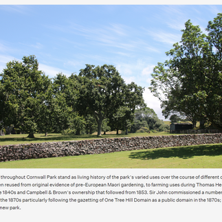
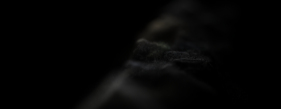
This past week I've been working pretty slowly - mostly figuring out how to explore the geological subjects I've been investigating. As I'm working my way through Shifting Grounds, I decided to focus on Maungakiekie/Cornwall Park as a site as it features some of the oldest volcanic stone walls in Auckland and is relatively close to where I live. They were initially built for farming purposes after British colonisation, repurposed from existing structures built by Māori living on the maunga which helped warm the soil and improve crop yields. Below are some screenshots from the park's website and images of remaining walls, which are now used in part of the park's sheep farm:


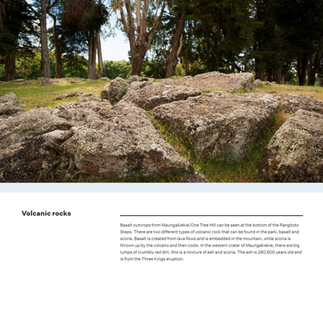


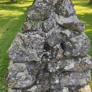

I'm still unpacking what specific subjects I want to focus on and how around the idea of ecological fluidity and perception, but decided to start here for collecting photographs, making several lidar scans and videos as I was curious about the proximity of these rock structure to the maunga, and the idea that they are the mountain, are of the mountain, and are entities that still shape its environment today...
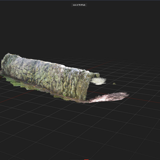
I finally had a chance to test out Record3D, the 3D video app I found recently, however I don't think I will use it at present as the look of it didn't feel like it fits the project I'm working on currently... I also tested out Sitescape (see last image above), another point cloud scanner app, just to see if it was worth looking into now, but I think the current photogrammetry set up I have is working well enough as is. It's good to know that I have that option available in future though as it's especially good for capturing areas very quickly and in high detail, and could be used to build larger, immersive point cloud environments fairly easily (definitely something I want to explore as the year goes on!).

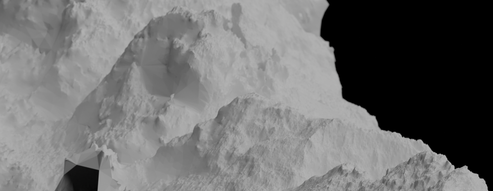


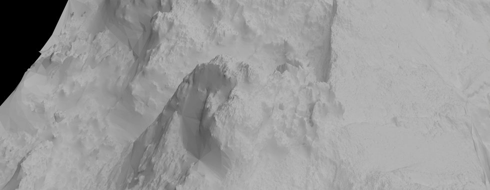

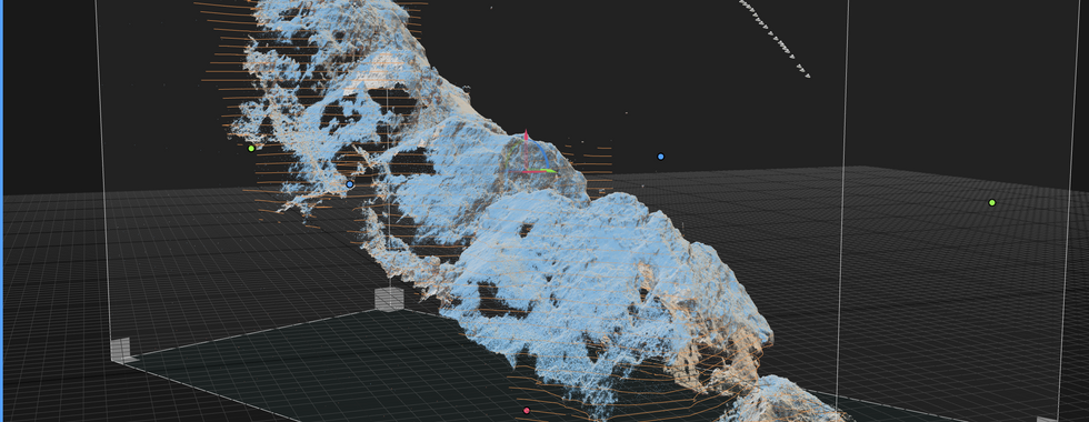

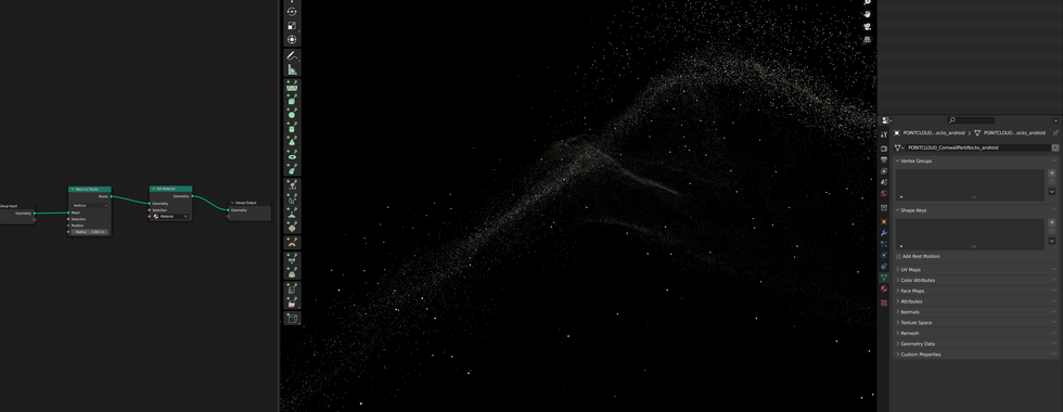


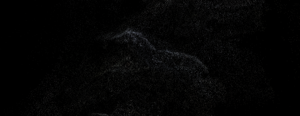


Above are some test images from Reality Capture and Blender respectively - the first two assembling a photogrammetry model, and the following images taken from it set up in Blender. The point clouds are derived from photogrammetry and lidar scans of the historic stone walls in Cornwall Park. I think the images are interesting in themselves, and I'd like to see what they look like as photoprints if I get them to a point I'm happy with, It's my plan to continue exploring them as moving image works this week also, which I'll upload as I go (am trying to keep focusing on the idea of flux, temporality, exploration, perception of space/mountains/nature/etc., otherness... and how that can be visualised effectively without being overly directive about it). I'm also enjoying the visual similarities between those of the 3D objects those from NASA of comets, asteroids and planets.
Edit: small video experiment below, playing with focus and depth of field in Blender (needs tweaking to perfect but am happy with elements of it!)
Displacement maps and bad puns
In the program Blender, as well as other 3D modelling programmes, mapping refers to coordinates used to determine how textures are applied to objects. Mapping works by using coordinates to guide the process, either sourced from the digital environment or from the object itself. There are several kinds of maps: Bump maps store information about intensity and height of pixels from the viewpoint of the camera. Normal maps are images that store the direction of normals (points that are perpendicular to the plane line at a point on an object's surface) in the RGB values of an image, and are often used to determine a surface's orientation toward a light source. Displacement maps are black-and-white images that follows the geometry of a 3D shape, with white space corresponding to the highest points and black space corresponding with the lowest points on its surface. They can be used to alter the geometry of 3D objects and how textures are applied to them:
Unlike Normal or Bump mapping, where the shading is distorted to give an illusion of a bump... Displacement Maps create real bumps, creases, ridges, etc. in the actual mesh. Thus, the mesh deformations can cast shadows, occlude other objects, and do everything that changes in real geometry can do, but, on the other hand, requires a lot more vertices to work.
Image below, left to right: application of a bump map, a normal map, and a displacement map. The only one that actually alters the physicality of the sphere is the displacement, with the prior two only altering its surface's appearance. Because of this, displacement is often a standard modifying factor when creating digital landscapes (in video games for example), as it allows creators to form tangible hills and valleys in a surface.

Displacement maps are a primary feature of the works I make with lidar/photogrammetry, capturing the physical structure of the scanned objects and environments. As well as the speculative, liminal qualities that can be visualised in the point clouds, a secondary reason for creating this series of images as digital 'maps' feeds off the 3D modelling, dictionary and commonplace definitions of "displacement"
the action of moving something or amount that something is moved from its place/position.
the removal of someone or something by someone or something else which takes their place.
the enforced departure of people from their homes
the occupation of space within a volume by one thing in place of another (physics)
the transfer of an intense emotion from one object to another (psychoanalytic)
Tāmaki Makaurau's quarried volcanoes
Some other interesting links/articles about other volcanic sites:
Auckland's missing maunga: Why Takararo was quarried away over 100 years
The maunga got its Pākehā name (Mt Cambria) from past owners of the land, a group of Welsh people who also owned the Cambria gold mine on the Coromandel peninsula
The council hoped to continue digging up the maunga to build roads with its scoria (volcanic rock), but it was found to be “quite unsuitable for modern concrete making”
The mayor also offered a prize of 20 guineas (gold coins) to the person who came up with the best plan for the maunga
Water was found, but was determined unsafe for drinking due to bacterial contamination from nearby longdrops
Quarrying of the maunga continued, the scoria of which was used to line waterways, build walls and fill holes around Devonport
https://www.maunga.nz/ - on the ancestral maunga of the city
an intrepid traveller's blog on visits to each of Auckland's volcano sites


Comments